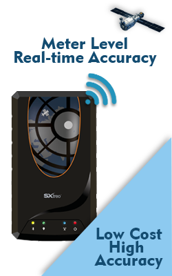
Rugged GAGAN enabled GPS PDA for Agriculture
Precision Farming In India
Increasing food demands due to high rates of population growth and major changes in political, economic and social systems have created an urgent need to develop new and revise many existing agricultural systems and practices. India is characterized by a high population with a phenomenal growth rate. The restless onslaught of demographic pressures on India’s natural resources has however put a question mark on the stability and sustainability of Indian agriculture. Now, more than ever, decision makers at all levels need an increasing amount of information to help them understand the possible outcomes of their decisions and develop plans and policies for meeting the increasing demand of food requirements without damaging the natural resources base. At the policy level, India is slowly but surely moving towards precision agriculture. Only the cost has been high so far, before Sxtreo arrived.
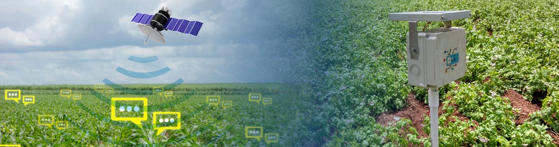
Agriculture is essentially a spatial phenomenon which is not independent of location. GIS is the tool and technology that handles various spatial databases. This spatial information technology allows you to examine and analyze a wider range of agricultural related resources such as soil, weather, hydrology, various socio-economic variables simultaneously and accurately. Simultaneous examination of these variables in a GIS environment leads to a better understanding of how agricultural systems function and interact over space and time.
Geospatial Analytics In Agriculture
The complexities of agricultural operations demand durable, versatile, and at the same time intelligent tools that can keep up with the day’s projects. Whether it is pest surveillance, tracking crop coverage, monitoring fertilizer and pesticide usage or keeping track of crop yield estimation, your data requirements call for a computing solution that’s easy to use but ready for challenging field environments. And it would be even better if the same data tool could also provide real-time communication.
That’s where the SXtreo is a perfect fit for agricultural applications. SXtreo is rugged enough to withstand weather extremes, drops and even accidental submersion. You have the options like SXsurvey with SXtreo agricultural PDA that let you customize a wide range of survey formats to achieve the desired performance for your specific needs. You can even use GPS and wireless networking for tracking and instant communication. Batteries are designed to keep up with you all day long without charging.


Sensors
Positioning
Space Tech