Rugged GAGAN enabled GPS PDA for Forestry
Managing Forestry Working Plan
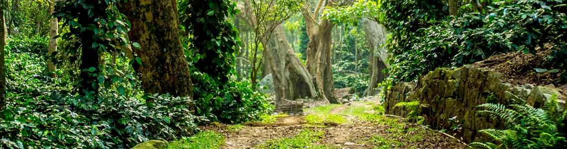
Forest products are both useful and in high demand. Forests and forestry provide countless, invisible services. Not only do they employ people, but are also vital source or income for the state. However the forestry management and administrators face a lot of challenges while maintaining these parameters at the optimum levels. Challenges are both natural and technological.
Remote, inaccessible terrain is still out of reach and as a consequence, unprotected. Any disaster like forest fire, if not detected on time, can wipe out entire tract of the forest area. In addition, poaching is always a threat. Inaccurate planning and mapping has led to inefficient record keeping and zero transperancy leading to loss of credibility.
Primarily based on spatial Forestry Decision support system couple with remote sensing, GPS based SXtreo provide services in:
Forestry Incident Reporting
- Wildlife Management Systems
- Fire Alert Messaging Systems
- Forest Dwellers Survey Systems
- Forest Offence Management Systems
- Forest Financial Management Systems
- Forest Planning and Geo Mapping Systems
- Benefits include, Informed Decisions, Real time Monitoring and Governance, and Intelligent Geospatial decision support systems.


